
Offas Dyke Map Booklet - 1:25,000 OS Route Mapping(Paperback) - diskuze
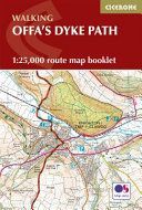
Výrobce: Cicerone Press
EAN: 9781852848941
Výrobní číslo: 9781852848941
Running for 177 miles (285km) along the English–Welsh border, the Offa’s Dyke Path National Trail follows one of Britain’s most remarkable ancient monuments from Sedbury near Chepstow to Prestatyn. This rewarding long-distance trail typically takes around two weeks to complete, passing through varied landscapes including the Wye Valley, Black Mountains and Clwydian Range. The Offa’s Dyke Map Booklet is a compact, lightweight walking map and trail navigation companion featuring the entire route on detailed Ordnance Survey 1:25,000 mapping. Designed for use on the move, it provides clear, reliable navigation in a convenient pocket-sized format. Full Offa’s Dyke Path route shown on Ordnance Survey 1:25,000 mapping for precise navigation from Sedbury to PrestatynClearly marked trail line along the English–Welsh border, including key sections through the Wye Valley, Black Mountains and Clwydian RangeContinuous mapping across the entire trail in a compact booklet, eliminating the need for multiple separate map sheetsLightweight, pocket-sized design for easy access on remote hill paths, farmland and upland ridgesFor step-by-step route descriptions and planning advice, the accompanying Cicerone guidebook Offa’s Dyke Path is also available From rugged uplands to peaceful valleys, the Offa’s Dyke Map Booklet helps you follow one of Britain’s most historic routes with ea
Cena 428 Kč v 1 obchodě
Dotazy, recenze a diskuze k Offas Dyke Map Booklet - 1:25,000 OS Route Mapping(Paperback)
Přidat dotaz
Přidat rezenci, hodnocení
Přidat rezenci, hodnocení
 Býk
Býk Osobní knihovna - Devět dantovských es
 Svet ľudí
 Little Grey Cells
 kostým pirátka luxusní vel. M
 Písanka pro prvňáky
- neuveden
Písanka pro prvňáky
- neuveden MFP Paper s.r.o. Omalovánky MFP Český
  Anestezie a pooperační péče v cévní ch
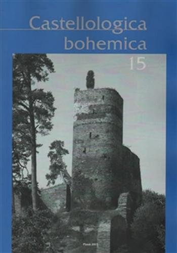 Castellologica bohemica 15 - neuveden
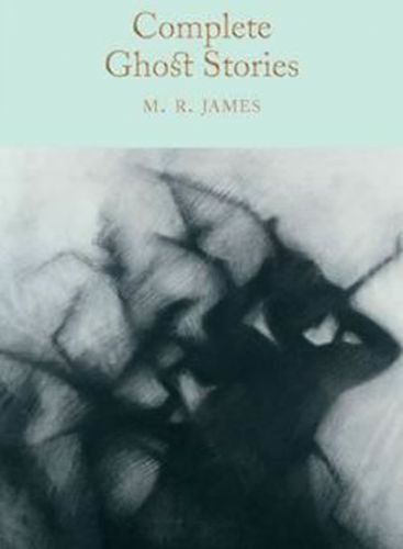 Complete Ghost Stories
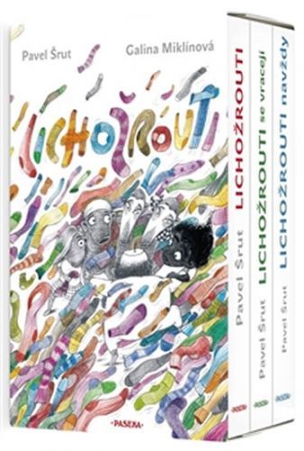 Lichožrouti: Už jsme komplet 1.-3. díl
 Bürkle Silvia: Skryté Záněty

















Přidat dotaz