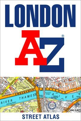
London A-Z Street Atlas (A-Z maps)(Paperback / softback)
Výrobce: HARPERCOLLINS
EAN: 9780008663490
Výrobní číslo: 9780008663490
Navigate your way around London with this detailed, easy-to-use and up-to-date A-Z Street Atlas.First published in 1936, this iconic atlas is a trusted means of finding your way around the capital city.The main mapping extends beyond Central London from Heathrow Airport to Chingford at a scale of 2.88 inches to 1 mile (4.55 cm to 1 km), featuring postcode districts, one-way streets, the Congestion Charging Zone and Low Emission Zone.The large-scale street map of Central London – at a scale of 5.75 inches to 1 mile – cover Regent’s Park and Shoreditch, Chelsea and Vauxhall, Hyde Park and Bermondsey.A comprehensive index lists streets, selected flats, walkways and places of interest, place, area and junction names. Additional healthcare (hospitals, walk-in centres and hospices) and transport connections (National Rail, London Tramlink, Docklands Light Railway, London Underground and Overground stations, and River Bus pier) are indexed as well.Also included are:• Overview map of the Congestion Charging Zone, Ultra Low Emission and Low Emission Zones• West End Theatre map• London Connections rail services map
Cena 297 Kč v 1 obchodě
Obchody, které prodávají London A-Z Street Atlas (A-Z maps)(Paperback / softback)
Zobrazit historii ceny London A-Z Street Atlas (A-Z maps)(Paperback / softback)
Historie nejnižsí ceny London A-Z Street Atlas (A-Z maps)(Paperback / softback). Porovnání obchodů, které prodávají London A-Z Street Atlas (A-Z maps)(Paperback / softback).
 My world - My first 100 words
-
My world - My first 100 words
-  Spudveč! aneb 70 000 světelných let
 Karel Haruda
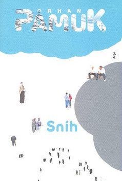 Sníh - Pamuk Orhan
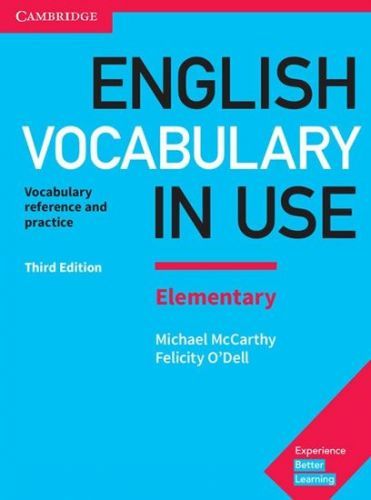 Mccarthy Michael: English Vocabulary I
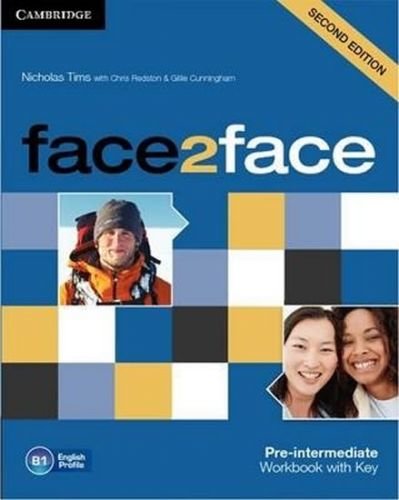 Face2face Pre-intermediate Workbook wi
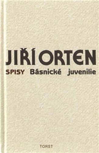 Básnické juvenilie
- Orten Jiří
Básnické juvenilie
- Orten Jiří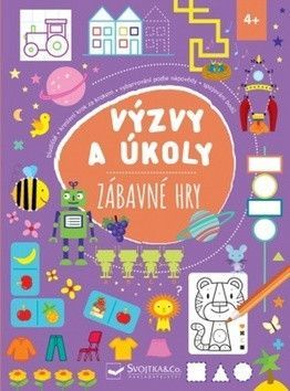 Výzvy a úkoly Zábavné hry
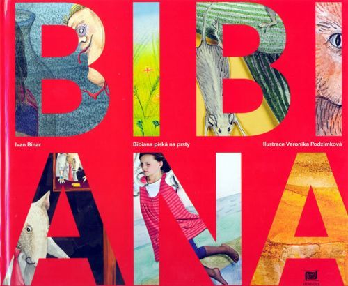 Bibiana píská na prsty
- Binar I
Bibiana píská na prsty
- Binar I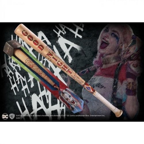 Posters Harley Quinn - Baseball
 New York - Lonely Planet
- neuve
New York - Lonely Planet
- neuve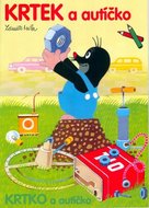 Krtek a autíčko - omalovánky A4 - Mile