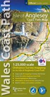
Isle of Anglesey Coast Path Map - 1:25,000 scale Ordnance Survey mapping for the entire Isle of Anglesey Coast Path(Paperback / softback) - diskuze
Výrobce: Northern Eye Books
EAN: 9781908632593
Výrobní číslo: 9781908632593
Enhanced, large scale (1: 25,000) Ordnance Survey mapping in a handy atlas format with all the mapping you need to walk a complete circuit of the Anglesey section of the Wales Coast Path. Continuous OS mapping covering the complete circuit from Menai Bridge. Contains coastal extracts from large scale Explorer maps 262 and
Cena 330 Kč v 1 obchodě
Dotazy, recenze a diskuze k Isle of Anglesey Coast Path Map - 1:25,000 scale Ordnance Survey mapping for the entire Isle of Anglesey Coast Path(Paperback / softback)
Přidat dotaz
Přidat rezenci, hodnocení
Přidat rezenci, hodnocení
 Český jazyk pro 4.ročník gymnázií - Me
 Modrá
Modrá A Legacy of Spies - Le Carré John
 Erika Bornová - Křehké monumenty / Fra
 Marie Curie
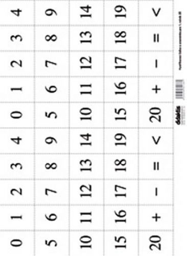 Vystřihovací číslice a znaménka pro 1.
 MFP Vystřihovánky - Princezna Jolanka
  The Slovak cookery
 Kdo jsem? Divoká zvířátka
 Apokalypsa a tarot
 Otíková čítanka
 Superkrávy a moře trapasů
- Solb
Superkrávy a moře trapasů
- Solb


Přidat dotaz