Hadrian's Wall Path: National Trail: Described West-East and East-West (Richards Mark)(Paperback) - diskuze
Výrobce: Cicerone Press
EAN: 9781786311504
Výrobní číslo: 9781786311504
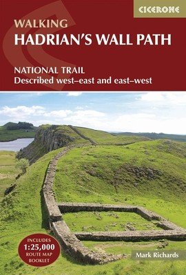
A guidebook to walking the Hadrian''s Wall Path National Trail between Bowness-on-Solway in Cumbria and Wallsend, Newcastle. Covering 135km (84 miles), this historic route takes around 10 days to hike. Suitable for beginners, it nevertheless requires a reasonable level of fitness to undertake as a multi-day walk. The route is described in 10 stages between 8 and 16km (5–10 miles) in length and in both directions, west–east and east–west. An optional 2-stage extension through Newcastle to South Shields on the east coast is also provided. Contains step-by-step description of the route alongside 1:100,000 OS maps Includes a separate map booklet containing OS 1:25,000 mapping and route line Handy route summary tables, alternative walking schedules and accommodation listings help you plan your itinerary Packed with historical detail, as well as maps marking locations of Roman milecastles and other archaeological sites on and near the wall Public transport by stage is listed for those wanting to break the trail into shorter sections
Cena 592 Kč v 1 obchodě
Dotazy, recenze a diskuze k Hadrian's Wall Path: National Trail: Described West-East and East-West (Richards Mark)(Paperback)
Přidat dotaz
Přidat rezenci, hodnocení
Přidat rezenci, hodnocení
 Hommage a Jiří Valenta
- Primus
Hommage a Jiří Valenta
- Primus  Zaklínač VII. Paní jezera
 The Count Of Monte Cristo
 Krížovky pre všetkých
 Marketing podnikov cestovného ruchu -
  Kid's Box Level 2 Pupil's Book British
 Mária Magdaléna
 Karel Haruda
 Taliansko / Slovenský slovník
 Algebra 8 učebnice
 Zajatcem v Rusku
- Hahn Hans "As
Zajatcem v Rusku
- Hahn Hans "As Omalovánky Vánoce 5300299


Přidat dotaz