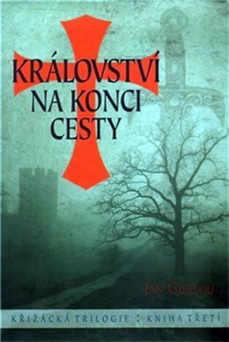
Llyn Peninsula Coast Path Map - 1:25,000 scale Ordnance Survey mapping for the Llyn Peninsula section of the Wales Coast Path(Paperback / softback)
Výrobce: Northern Eye Books
EAN: 9781908632609
Výrobní číslo: 9781908632609
Enhanced, large scale (1:25,000) Ordnance Survey mapping in a handy atlas format with all the mapping you need to walk the Llyn Peninsula section of the Wales Coast Path. Continuous OS mapping covering the Wales Coast Path between Bangor and Porthmadog. Contains extracts from large scale Explorer maps 253 and 254. - Large scale OS mapping for the complete coast of the Llyn Peninsula in a handy atlas format. - Highlighted official route of the Wales Coast Path. - On-map symbols showing amenities at main towns and villages. - Introduction with attractive photo mosaic. - Additional useful information
Cena 330 Kč v 1 obchodě
Obchody, které prodávají Llyn Peninsula Coast Path Map - 1:25,000 scale Ordnance Survey mapping for the Llyn Peninsula section of the Wales Coast Path(Paperback / softback)

Zobrazit historii ceny Llyn Peninsula Coast Path Map - 1:25,000 scale Ordnance Survey mapping for the Llyn Peninsula section of the Wales Coast Path(Paperback / softback)
Historie nejnižsí ceny Llyn Peninsula Coast Path Map - 1:25,000 scale Ordnance Survey mapping for the Llyn Peninsula section of the Wales Coast Path(Paperback / softback). Porovnání obchodů, které prodávají Llyn Peninsula Coast Path Map - 1:25,000 scale Ordnance Survey mapping for the Llyn Peninsula section of the Wales Coast Path(Paperback / softback).
 Passt schon! 1. Němčina pro SŠ - Učebn
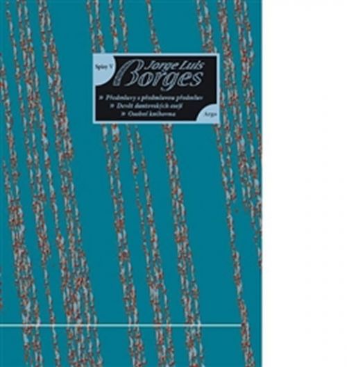 Osobní knihovna - Devět dantovských es
 MFP Vystřihovánky - Princezna Lenka -
 Gévaudanské nestvůry aneb zrod bestie
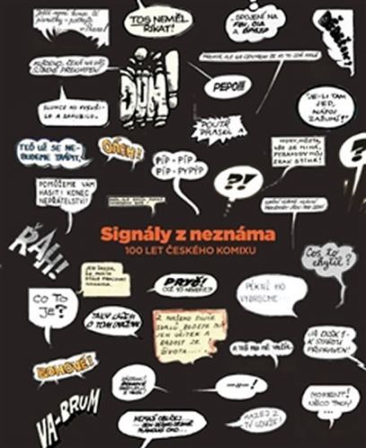 Signály z neznáma - Český komiks 1922–
 Za temnotou
 Spudveč! aneb 70 000 světelných let
 Vatikánsky denník III - Karol Sidor
 Tráva a vítr - Sedlmayerová Anna
 Válečníkův slib
 Věda - Kniha Aktivit
 Rybáři a hastrmani