World War I Illustrated Atlas: Campaigns, Battles & Weapons from 1914-1918 (Neiberg Michael S.)(Pevná vazba) - diskuze
Výrobce: Amber Books Ltd
EAN: 9781838863548
Výrobní číslo: 9781838863548
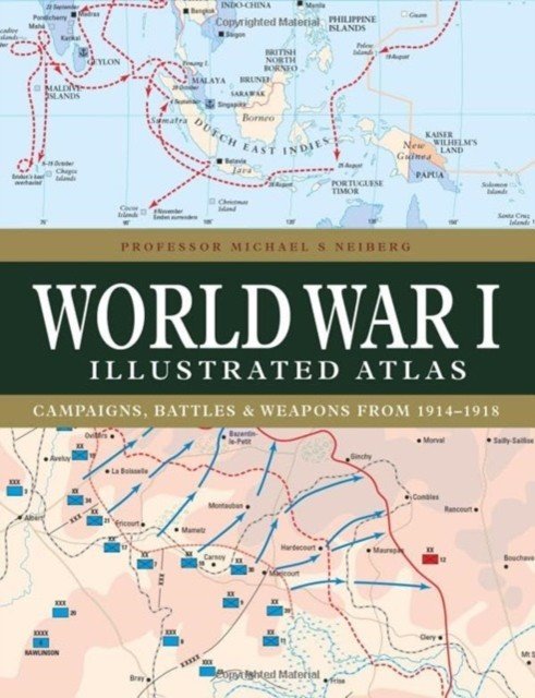
With a new cover design and updated introduction, this complete atlas provides an invaluable work of reference for both the general reader and the serious student of World War I. World War I Illustrated Atlas is a comprehensive visual guide to this complex conflict. In fine detail, it plots the exact course of the land, sea, and air campaigns, enabling the reader to trace the ebb and flow of the fortunes of all sides. With more than 180 full-color maps, every theater of war is covered—from the Western Front to Penang, from Gallipoli to Galicia, from Dogger Bank to Dalmatia, from Romania to Rhodesia, and from the Falklands to Togo and the Sinai desert. All the maps have been specially commissioned from an expert cartographer. Each map is designed to highlight a particular aspect of the war—thus maps vary in shape and size, with some giving a global perspective while others depict the exact movement of armed forces on land, sea, or in the air. Battles such as Jutland, the Somme, Cambrai, and the Gallipoli campaign are shown in great detail. All maps are accompanied by an explanatory key.
Cena 759 Kč v 1 obchodě
Dotazy, recenze a diskuze k World War I Illustrated Atlas: Campaigns, Battles & Weapons from 1914-1918 (Neiberg Michael S.)(Pevná vazba)
Přidat dotaz
Přidat rezenci, hodnocení
Přidat rezenci, hodnocení
 Chladné břehy
 Auta - Maluj vodou
 Príbehy o integráloch - Riečan Belosla
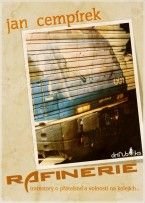 Rafinerie
 Marie a Magdalény
- Horňáková-Ci
Marie a Magdalény
- Horňáková-Ci Deníky II.(1940-1949)
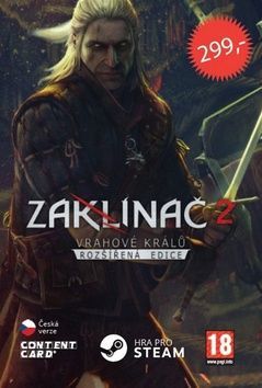 Zaklínač VII. Paní jezera
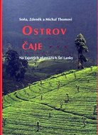 Ostrov čaje
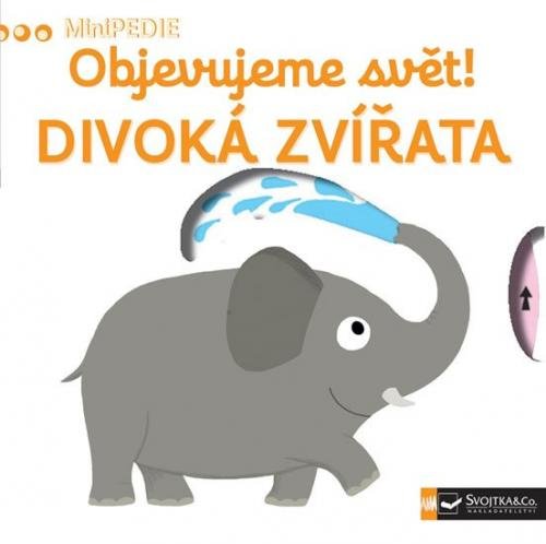
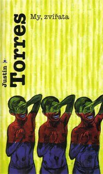 Puzzle - Divoká zvířata
 Think Level 5 Workbook with Online Pra
 SCHNEIDER LIANE Conni v kadeřnictví
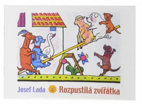 MFP Omalovánky Lada A5 - Rozpustilá zv


Přidat dotaz